Drone
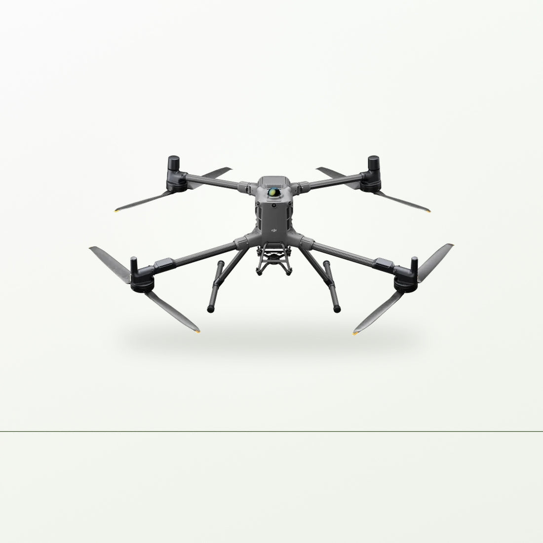
DJI Matrice 400
The heavy airframe for LiDAR and long survey — 6 kg payload, up to 59 minutes.
20% deposit on order, balance before delivery. Equipment finance available for ABN holders.
- Delivered, assembled and test-flown on your property
- Hands-on training for your people
- Phone support for as long as you own it
- 1We ring you within one business day.
- 2You get a written quote by email.
- 3Nothing to pay unless you go ahead.
Rather talk it through? Call 03 7065 6380.
Every quote is prepared by a licensed remote pilot (RePL, BVLOS rated).
Ships from Melbourne
Servicing regional Australia.
Phone support
Ring us if it doesn't behave.
Australian owned
Owned and run from Melbourne.
Prices include GST
What you see is what you pay.
The heavy end of the range, and a different animal to the rest of it. The Matrice 400 is DJI's enterprise flagship — 6 kg of payload, up to 59 minutes in the air, rotating LiDAR and six-direction radar that picks up powerlines, and a transmission link that holds over serious distance. It is the aircraft you buy when the sensor you need to fly is heavy, expensive and has to stay up long enough to finish the job in one hit.
This page is the aircraft. Our Matrice 400 Environmental LiDAR Kit is this airframe with the Zenmuse L2, positioning and processing already matched up, which is how most people end up buying it.
What it's for
Carbon and environmental projects are the main reason it turns up on rural jobs. Fitted with a Zenmuse L2, it maps vegetation structure and ground surface across large areas in a way a camera cannot — LiDAR sees the ground through the canopy, where photogrammetry measures the treetops and guesses at what is underneath. For biomass, revegetation and carbon estimation, that difference is the whole exercise.
Beyond that it does the long, heavy jobs. Large-scale mapping and contour survey, powerline and infrastructure inspection along a corridor, and search work where endurance decides whether you find something before dark. Up to seven payloads can be mounted at once, so a single flight can carry more than one sensor.
It handles weather other aircraft do not. IP55 sealing and an operating range of -20°C to 50°C, with obstacle sensing that keeps working in rain, fog and low light.
What you need to know
The headline numbers are best-case, and it is worth knowing how they were measured. DJI's 59 minutes is flying forward at a constant 10 m/s, in still air, at sea level, carrying one payload only, until the battery forces a landing. Add an L2, an RTK module and a real mission with turns and hovering and you will see less. The 6 kg payload figure is measured at sea level too and drops as altitude rises. Tell us the job and the country and we will give you a realistic working number rather than the brochure one.
A LiDAR setup is not a working system on the airframe alone. It needs RTK positioning and processing software — DJI Terra or an equivalent — and neither is included with the aircraft. Without both you have a very expensive point cloud you cannot georeference or turn into a deliverable. We quote all three together for that reason.
This is not an agricultural aircraft. It does not spray, it does not spread, and for ordinary farm mapping it is far more machine and far more money than the job needs. If you want crop health, the Mavic 3M. If you want paddock and irrigation survey, the Matrice 4E. The M400 earns its place when the payload is heavy and the data has to stand up to outside scrutiny — carbon accounting, regulatory reporting, professional survey work.
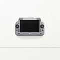
It runs the RC Plus 2 Enterprise Enhanced controller, which is not the same unit as the Agras RC Plus 2 that flies the T100 and T70P. If you have both an Agras machine and an M400, you are carrying two controllers.
CASA accreditation or a remote pilot licence applies, and at this weight with a payload fitted you are well past the point where that is optional. Corridor work along powerlines and anything approaching infrastructure brings further considerations. We sort that out with you at handover, before you fly commercially, and the current position is worth confirming with a compliance advisor because the rules move.
Often added
- DJI Zenmuse L2 LiDAR payload for vegetation and terrain mapping
- DJI D-RTK 3 Multifunctional Station for centimetre-level positioning
- DJI Terra licence for point cloud processing and reconstruction
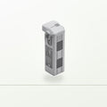
- Additional DJI TB100 intelligent flight battery
- DJI BS100 battery charging station
- DJI Matrice 400 spare propellers (pair)
Delivered, commissioned and explained
Delivery, commissioning, training and CASA guidance are included. We set the aircraft up on your place, fly it with you, and walk you through the paperwork before the first job — not after it. With a LiDAR configuration we also run through the processing side, because the flying is the easy half.
Every package on this page is quoted per farm. Send an enquiry with your location and what you're planning to cover, and we'll come back with a written quote in Australian dollars, GST inclusive.
What's in the box
- DJI Matrice 400 aircraft
- DJI RC Plus 2 Enterprise Enhanced remote controller
- DJI Care Enterprise Plus (1 year), auto-activated
- Delivery to your property, commissioning, flight testing, hands-on operator training and CASA guidance
Shipping, returns and warranty
How long does shipping take?
Accessories, spares and software ship Australia-wide from Melbourne. Delivery estimates are shown at checkout.
Can I send it back?
Unopened accessories and spares can be returned within 30 days. Your rights under the Australian Consumer Law apply in addition.
What is the warranty?
New DJI equipment carries DJI's manufacturer warranty. We lodge and manage any claim for you.
Want a price for your place?
Tell us where you are. We'll ring you within one business day, answer your questions, and send a written quote.
Or call 03 7065 6380.
No payment taken. No obligation.
Worth adding
Add to your quote (optional)
Tick anything you want priced in. If it isn't worth it for your setup, we'll say so.